The Best Ecoregion Photo Spots around Mount Agung in Indonesia
Explore Ecoregion pictures of Mount Agung with the travel spots on a map
Download the Travel Map of Indonesia on Google Maps here
11 Ecoregion Spots of Mount Agung on a Map
Pictures of Ecoregion on the interacive map of Mount Agung
Download On Google Maps 🗺️📲Ecoregion Spots and Pictures around Mount Agung
Discover popular destinations in Mount Agung with their travel guides
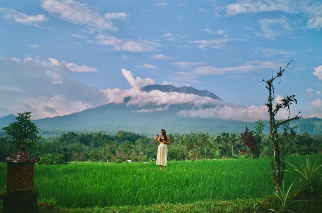
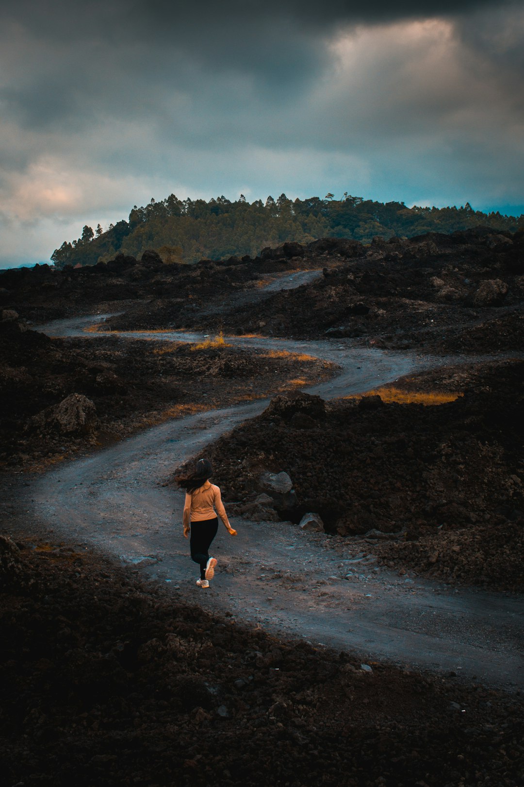
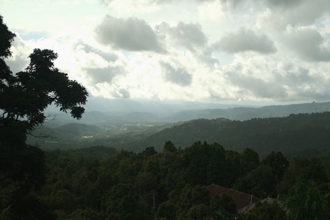
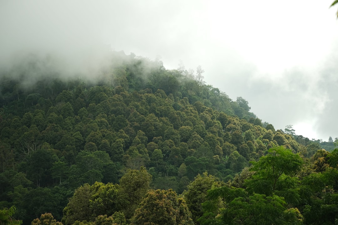
Mount Agung
Read the Travel guide View on Google Maps
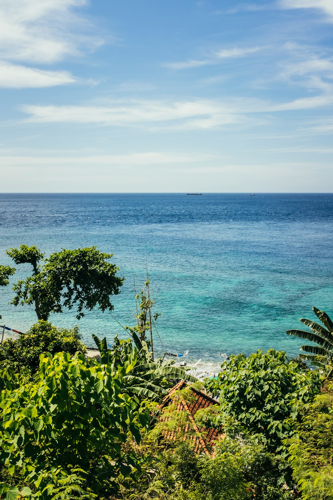
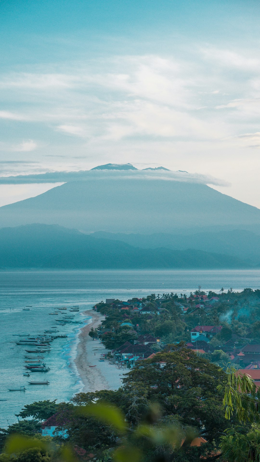
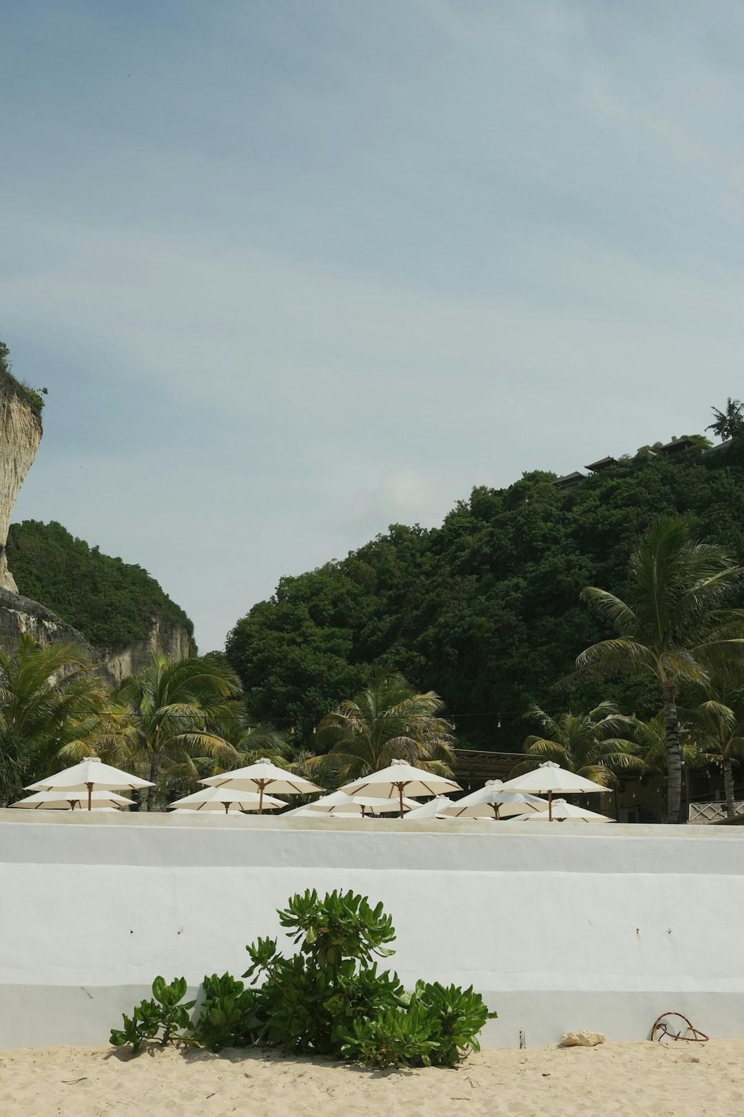
Amed Beach
17 km away from Mount Agung
Read the Travel guide View on Google Maps
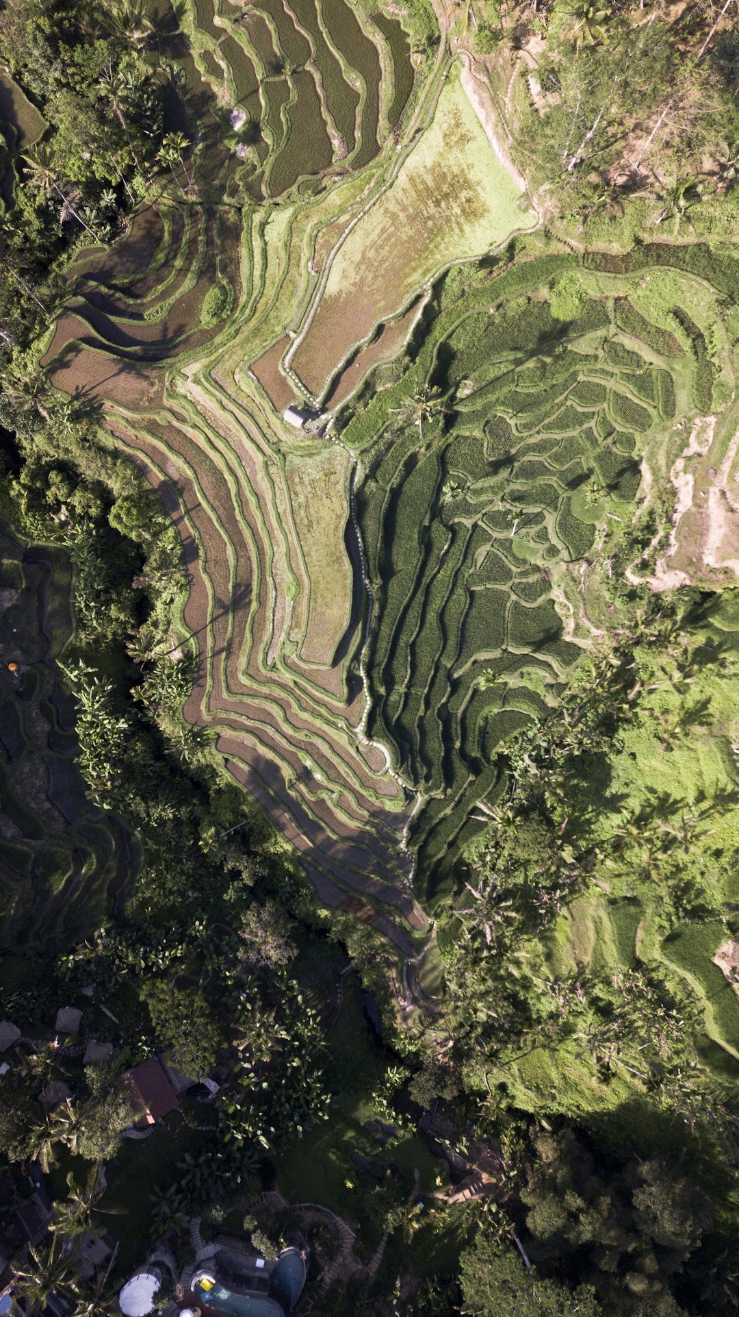
Tegallalang
24 km away from Mount Agung
Read the Travel guide View on Google Maps
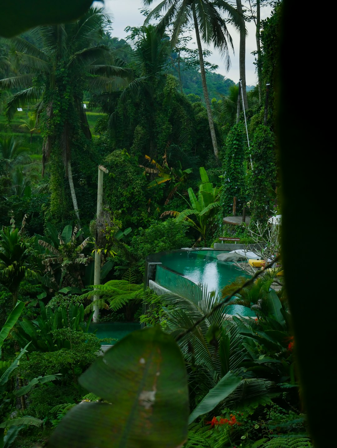
Ubud
32 km away from Mount Agung
Read the Travel guide View on Google Maps
Bali
36 km away from Mount Agung
Read the Travel guide View on Google Maps
Nusa Lembongan
38 km away from Mount Agung
Read the Travel guide View on Google Maps
Nusa Penida
43 km away from Mount Agung
Read the Travel guide View on Google Maps
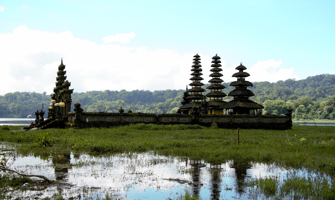
Danau Tamblingan
46 km away from Mount Agung
Read the Travel guide View on Google Maps
Munduk
51 km away from Mount Agung
Read the Travel guide View on Google Maps
Pantai Pasut
57 km away from Mount Agung
Read the Travel guide View on Google Maps

Melasti Beach
68 km away from Mount Agung
Read the Travel guide View on Google Maps
Book your Travel Experience in Mount Agung
Discover the best tours and activities in Mount Agung and book your travel experience today with our booking partners
Learn More about Mount Agung
Find Hotels in Mount Agung
Discover the best hotels around Mount Agung, Indonesia and book your stay today with our booking partner booking.com